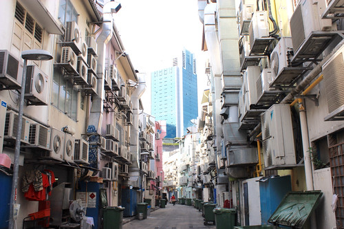
We decided to get a little extra sleep on day 3, as it was ending up with us catching a midnight flight to Sri Lanka. We also thought it might be a good after three days of mostly being outdoors in the equatorial heat, we might want to spend some time on the other side of these:
Not being shoppers, we went off to the museums instead of the malls. Specifically, the Asian Civilizations Museum, and the Singapore City Gallery.
I did not take any pictures in the former, as it just wasn't that kind of place. It was the kind of place where spectacular artifacts from 3,000 years of (mostly southeast) Asian cultures are on display, along with many items related to the variety of civilizations that have relied on trade through the Straits of Malacca. Paintings, textiles, furniture, gold, silver, jade, ivory, and a dizzying array of ceramics. Highlights may be the entire recovered cargo of a 3rd century ship found on the bottom of the Straits, encrusted in coral.
The Singapore City Gallery is not a gallery of traditional arts, but of the darkest, most mysterious art of all: City Planning! A City growing as rapidly as Singapore, in a country as rigidly managed by government as Singapore, needs a strong City Plan and vision to be successful. People who know me (why would anyone else be reading this?) know I can geek out on a good City Plan.
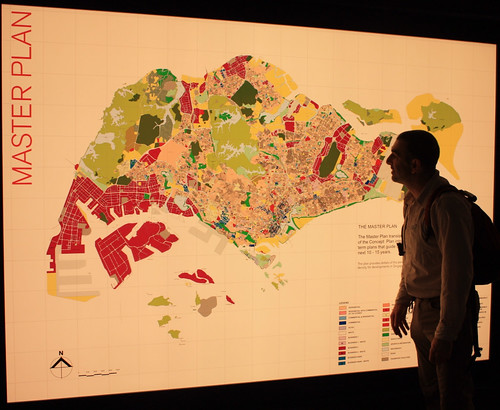
Housed on the bottom couple of floors of the Urban Development Agency, which appears to be a combination of the City's Planning and Economic Development departments with a bit of an entrepreneurial edge, here is where all of the plans large and small for the development of a City of 17 Million are on display.
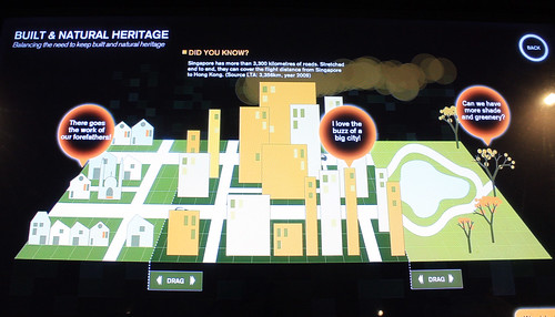
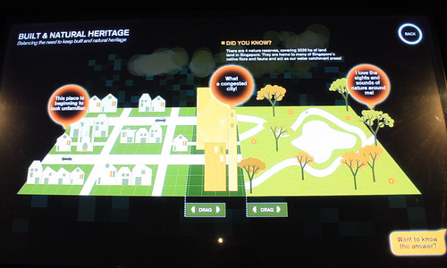
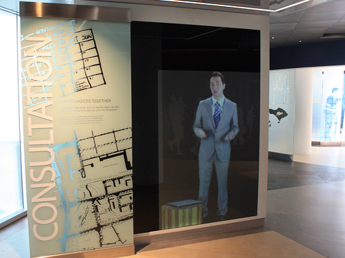
It was also a well presented display on how the City got to be the way it is, a bit of promotion for the successes of the City (transportation, water supply, garbage collection, etc.), and a bit of an explanation of the planning process. I loved some of the interactive displays such as this one, where you could drag the sliders to divide the city up into different proportions of low-density housing, high-density development, and preserved green spaces, then watch what complaint bubbles pop up with every choice:
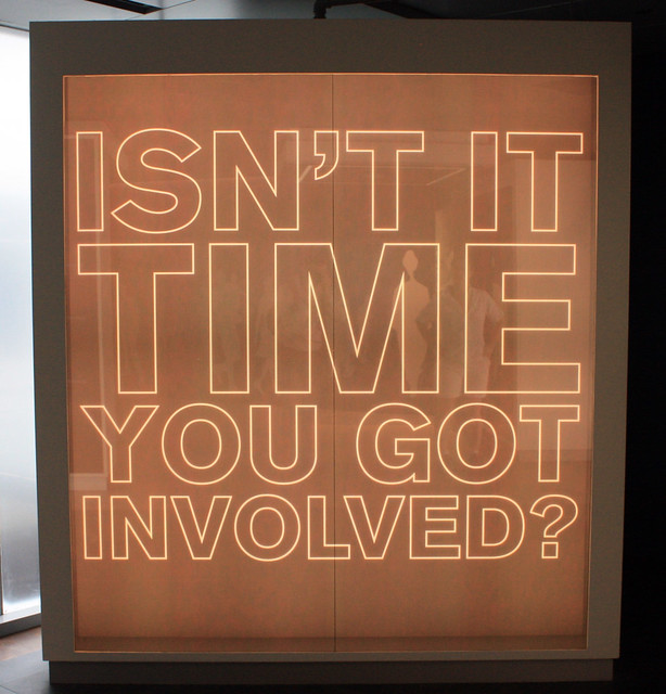
There was an obvious theme to the Gallery that came across pretty clearly:
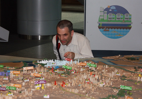
If I was geeking out before, I went into geek overdrive with the 1:5000 wood model of the entire island, here I lord over the Central Business District:
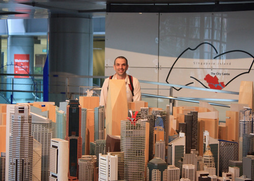
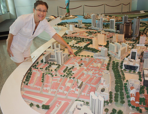
...until I went upstairs and saw the entire "City Centre" was rendered in highly detailed 1:400 scale! To get a sense of the City Plans, the bare wood buildings in the model in front of me are the ones not yet build, but already planned:
And here is Tig pointing out where our hotel in Little India is rendered:
What a geek.
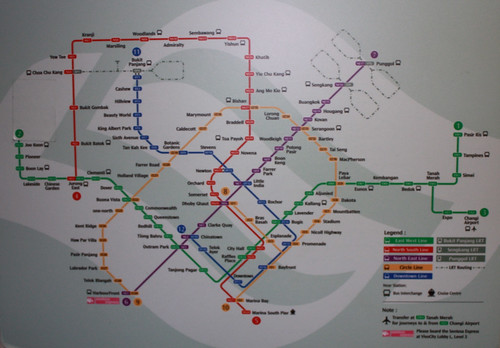
Getting around has been really easy, as we have been relying on the MTS, a network of 5 medium-weight driverless electric trains that cover the island pretty extensively.
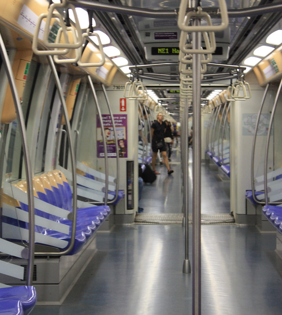
The trains are connected by spacious multi-level underground stations in the City Centre, and fares (through a Compass-card and fare-gate type system) are generally between $1 and $3 per ride. The entire system was super efficient with frequent trains and really easy to navigate system maps and stations. The trains were occasionally crowded, which is something to say considering the trains were wide and some were so long, it was difficult to see the far end on a mostly-empty train.
There are also three smaller LRT loops in outer districts, and construction of line expansions and an entire new line are ongoing. Enough investment in public transit to make any City Councillor geek out.
No comments:
Post a Comment